My first steps with Virtual Earth
After reading about and playing with the great AJAX map offerings from Google and Microsoft, I though it was time to jump on that wagon and not be left behind in the jet-wash of the “white heat of technology” generator. “Eat my exhaust,” they’d shout, pointing at me like a cross between the village idiot and the Star Wars Kid.
So, knowing as I do that there is an excellent Virtual Earth resource called Via Virtual Earth, run by my fellow Remerger Dr. Neil, I thought I would head over there to see of they could learn me some web twenty. Specifically, the getting started part 1 article.
Thankfully, it’s written very clearly so even my smooth brain could understand it without having to re-read until my telomeres crumble into squidgy dust.
To re-iterate it somewhat, just create your web page, including an empty div with the right height and width for your map. Make the overflow hidden, and the position, if it’s not absolute, to relative.
Add links to the Virtual Earth CSS and JavaScript files (or, as they insist on calling it in Microsoft, “Jscript”) and your mother almost has a sibling called Robert. BUT here’s something they don’t mention in the article. To enable it to be Firefox compatible, which is essential in these days of seven to ten percent, you must add some conditional code. Here it is.
<![if !IE]><script xsrc="http://local.live.com/JS/AtlasCompat.js"></script><![endif]>
Uncle Rob, how we love you!

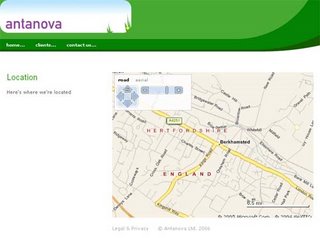
To find the longitude and latitude for me, I used www.streetmap.co.uk, then clicked on the tiny link under the map that says “Click here to convert/measure coordinates”. I found myself looking at a div full of blue. Realising I had made the classic mistake, I swapped the lat and long, and was looking at a map of my address, and a belly full of satisfaction.
Jason posted this on Friday, May 05, 2006 at 11:59 am.
Read comments (0). Leave comment.


